
LAYING THE GROUNDWORK TO MAKE A DIFFERENCE
We Provide Strategic Surveying & Civil Engineering Solutions
We support professional development through superior surveying, irrigation, landscape architecture, and property planning, as well as civil and investigative engineering services.
Our Vision Reflects Our Values
We follow accepted design standards and utilize innovative technology to provide quality results for our clients and their communities. Our team consistently delivers reliable, reasonable, and responsive solutions through proactive strategy, collaboration, and attention to detail.
We’re Dedicated to Your Success
Exceeding expectations through practical problem solving is our top priority. By building and sustaining genuine relationships, we become an invaluable asset and seamless extension of our clients’ existing teams.
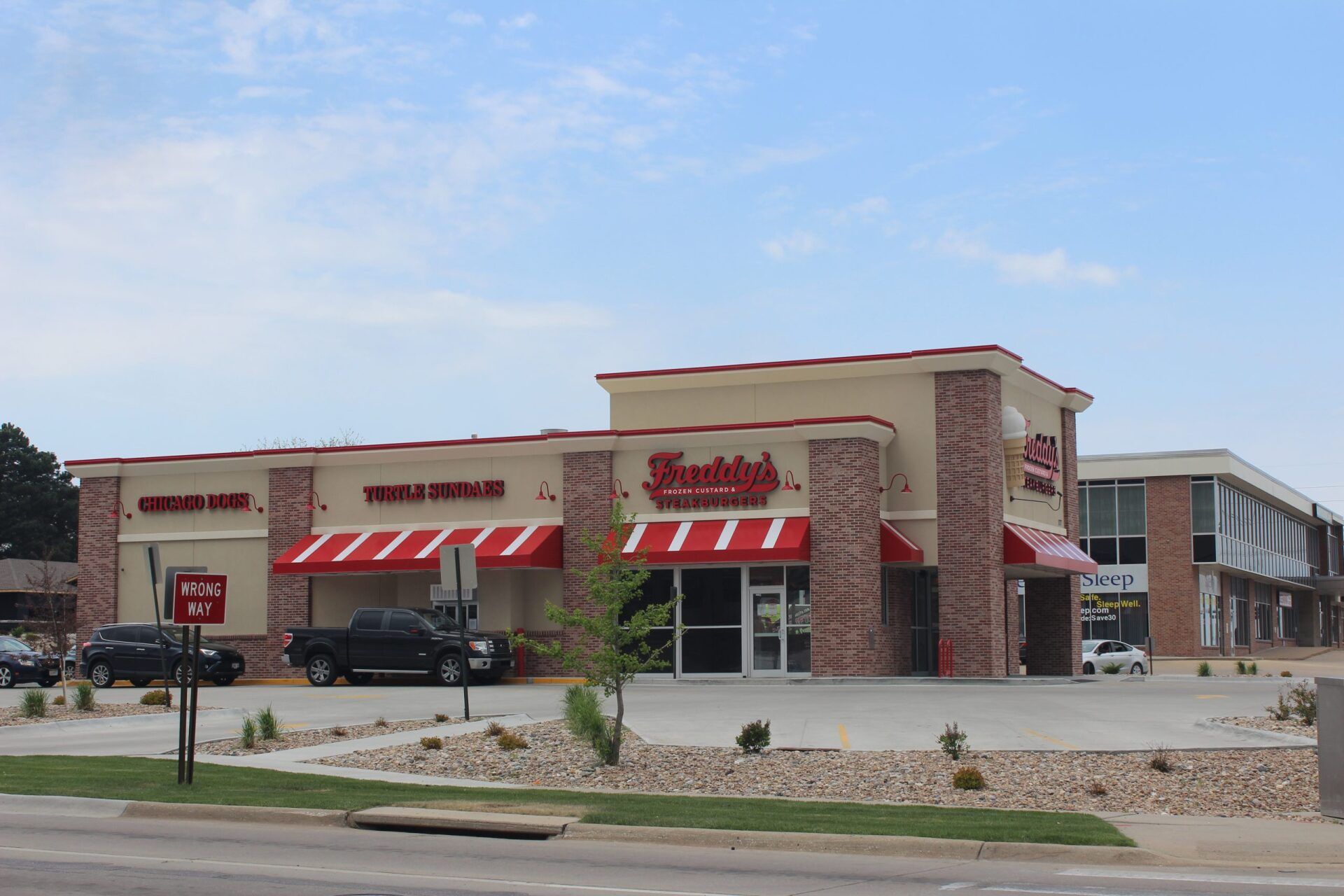
Civil Engineering
Public and private civil engineering services for site development, infrastructure design, and construction coordination across Nebraska, Texas, and the greater Midwest
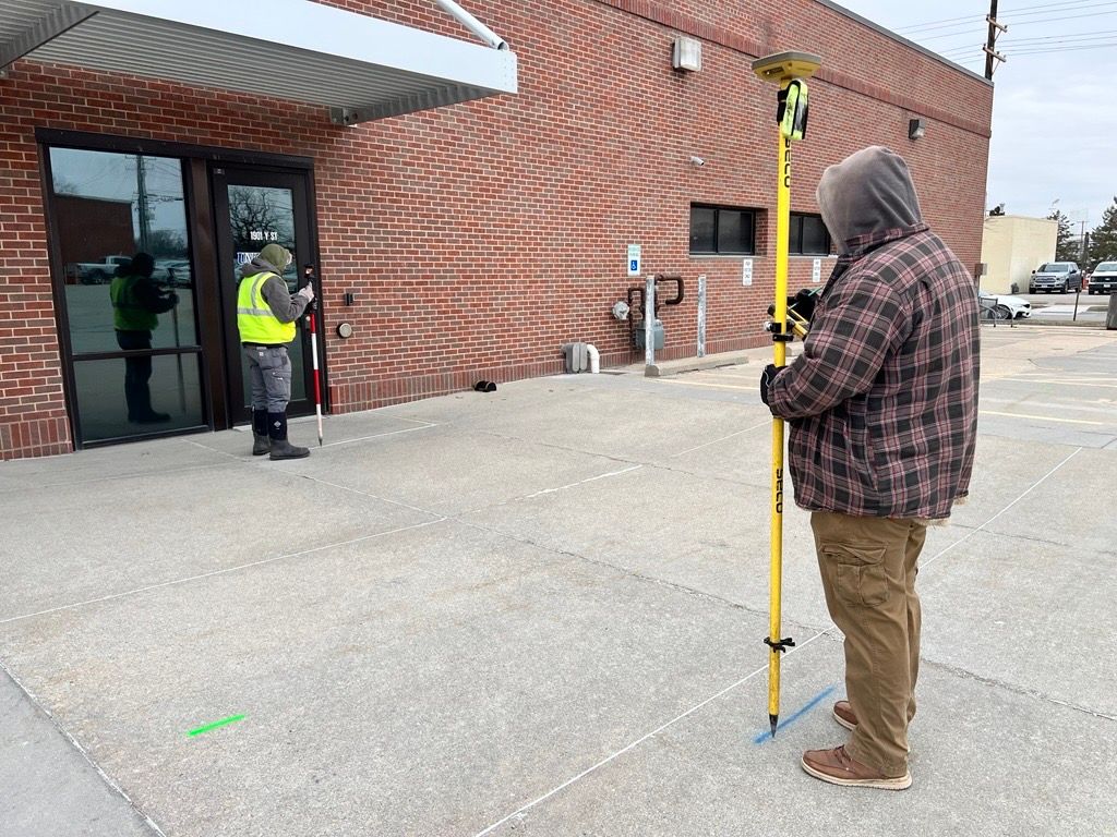
Surveying
On-site, as-built, and topographic land surveying for residential, commercial, and municipal properties, delivered with precision and turnaround you can count on
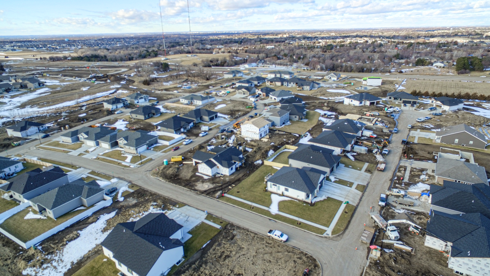
Planning
Land use planning and site design for residential subdivisions, commercial developments, and institutional campuses, tailored to local zoning requirements and community goals
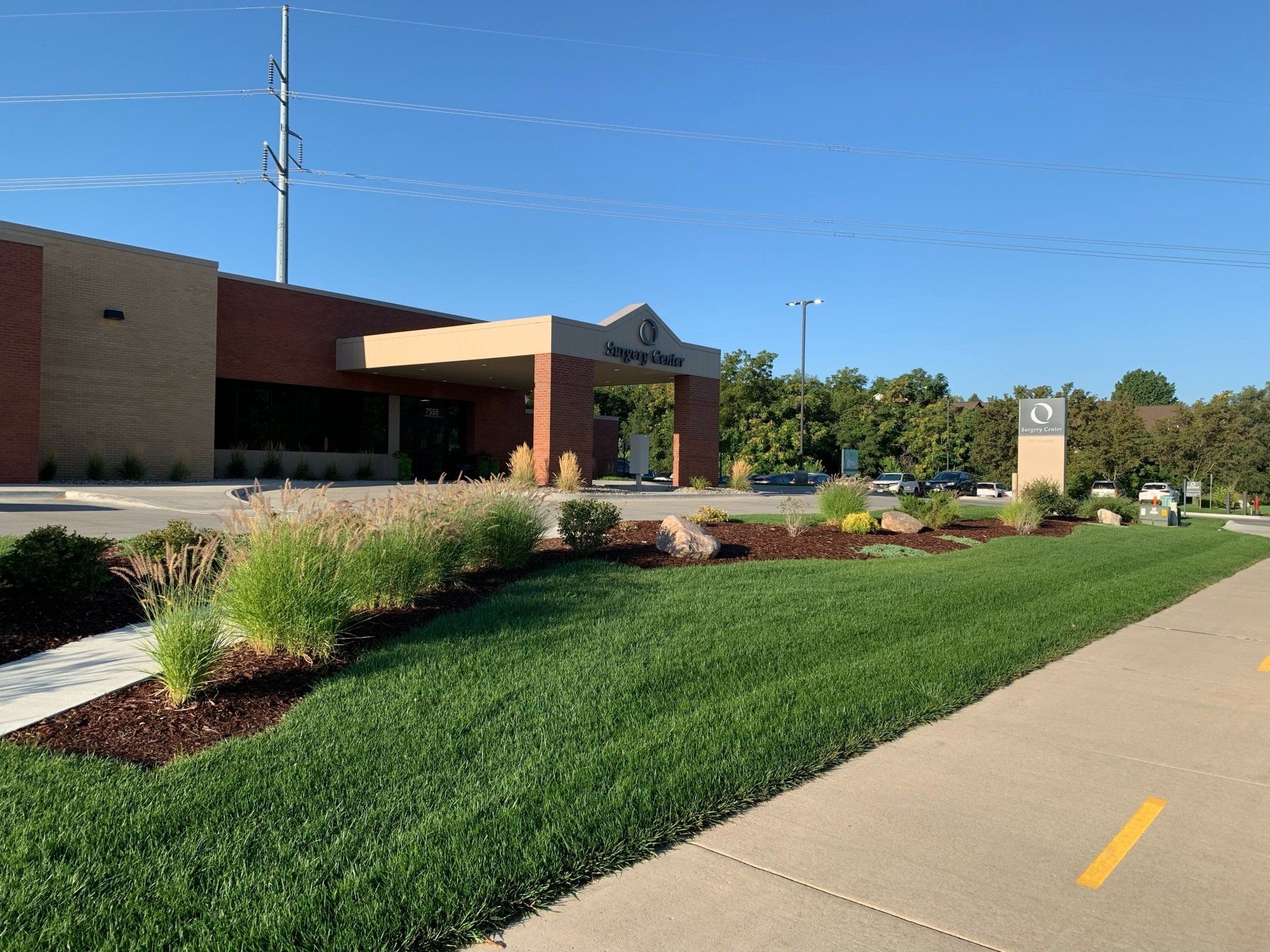
Landscape Architecture
Custom landscape architecture solutions for public spaces, commercial sites, and campus environments that balance function, aesthetics, and long-term community impact
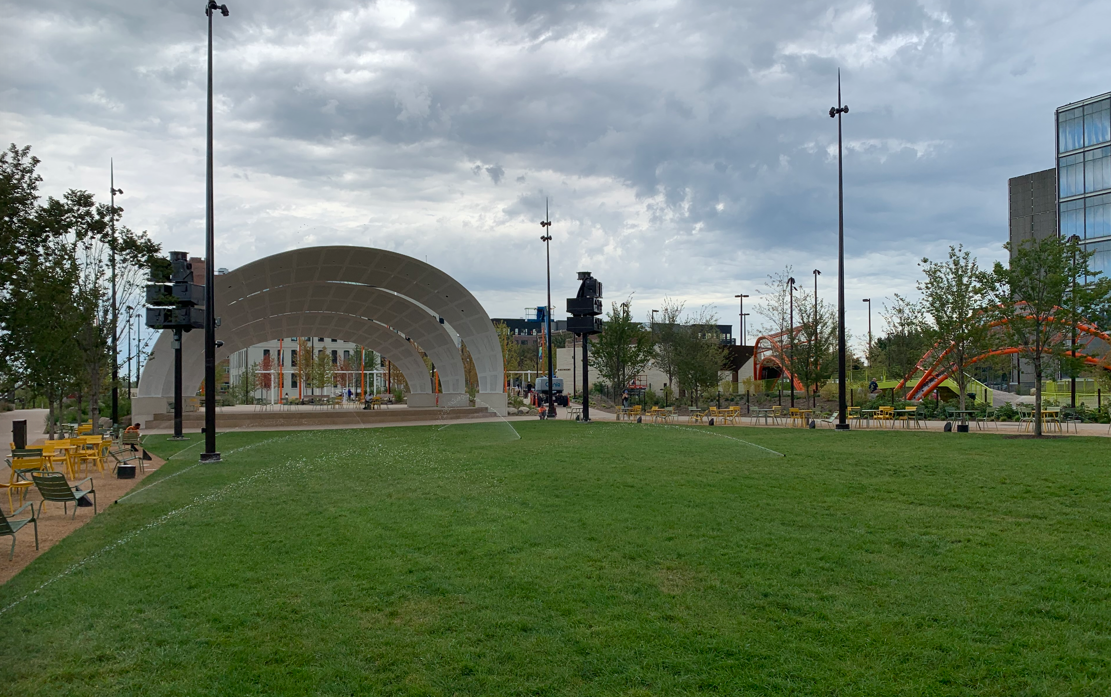
Irrigation Design
Flexible irrigation design for public, private, and commercial applications, engineered to conserve water and perform reliably across a range of site conditions
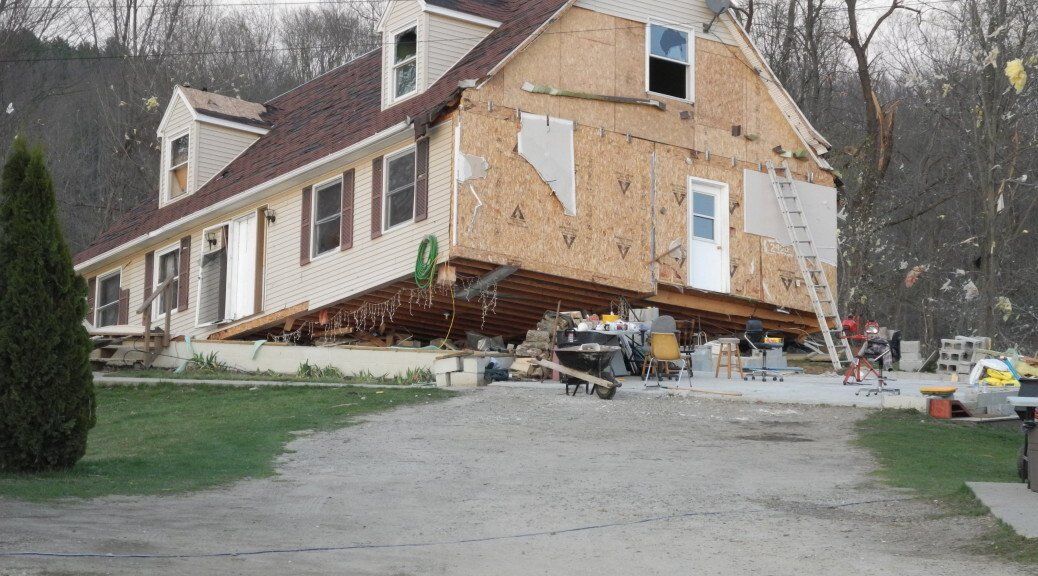
Investigative Engineering
Forensic engineering and expert analysis for attorneys, insurance adjusters, and risk managers, covering structural failures, site defects, and construction disputes
Licensed in 14 States
Our project portfolio spans multiple cities and states throughout the Midwest, and we always bring strong values and decades of industry experience to every venture we undertake. Our team understands the various challenges, advantages, and regulatory landscapes of these distinct regions. This empowers us to accomplish our clients’ unique goals with confidence.

DAVID WIEBE, ARCHITECTURAL DESIGN ASSOCIATES, LINCOLN, NE
MICHELLE KEOGH, PRESIDENT, HAMPTON ENTERPRISES, INC., LINCOLN, NE
BRENT WILLIAMS, PRESIDENT, EXCEL DEVELOPMENT GROUP, LINCOLN, NE
BRADLEY A. LEVICH, P.E., SENIOR PRINCIPAL, TERRACON
RON OBERG, PRESIDENT/MANAGING PARTNER, TR HOSPITALITY GROUP, LLC & HIGH PLAINS BREW, LLC

Architectural Design Associates
EA ENGINEERING, SCIENCE AND TECHNOLOGY, INC.
HAMPTON ENTERPRISES, INC., LINCOLN, NE
EXCEL DEVELOPMENT GROUP, LINCOLN, NE
ADVANCED ENGINEERING SYSTEMS, INC, LINCOLN, NE
Center Pointe Rehabiliation Center

The Chocolate Season
National Rural Electric Cooperative Asso

PepperJax Grill

Gana
BVH

City Ventures
Erickson Sullivan
Hausmann

Hartland
Krueger
Schwisow
NGC
ACEC Nebraska Member
REGA Engineering Group belongs to the American Council of Engineering Companies of Nebraska. That membership keeps us plugged into industry trends and policy changes happening across the state or nation. Our ACEC Membership puts us in the room when infrastructure priorities are being discussed.
HBAL Member
REGA Engineering Group is a member of the Home Builders Association of Lincoln. We work alongside local builders, remodelers, and trade professionals through HBAL, which helps us stay in step with what Lincoln's home building community actually needs from us.